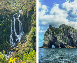
Longest river in country … 425 kilometres (264 miles) begins on slopes of Mt. Ruapehu, central North Island volcanic zone, 2,797 metres (1.8 miles) above sea level, where it flows into Lake Taupo; exiting at Port Waikato, Tasman Sea. Catchment covers 14,260 square kilometres (5,506 square miles) or 12 per cent of North Island New Zealand.
Where is it
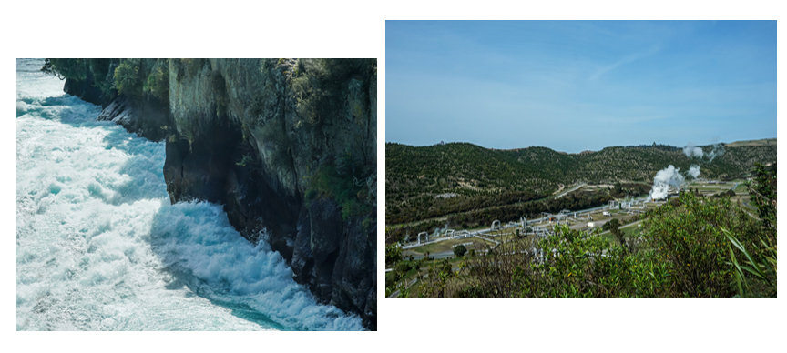
Located in North Island mountains, Waikato River not only provides largest water supply, but region also generates most power in country since 2002. There are eight dams, nine hydro plants on river …producing about 10% of New Zealand’s electricity.
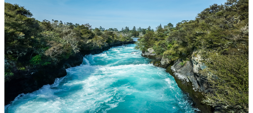
Huka Falls
Witness the power of natural hydro power – over 220,000 litres of water per second (58,118 gallons) barrelling over 11 metre (over 36 ft) high set of waterfalls, moving between 100-metre ( 328 feet) height banks, draining Lake Taupo – one of world’s highest flowing waterfall. Harnessed, regulated flow rate via Taupo Control Gates as part of hydro system to power homes, industries alike.
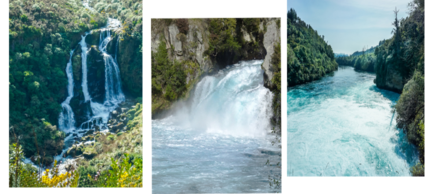
Set of smaller waterfalls top of falls provides scenic attraction, close to Taupo, readily accessible from highway.
Waikato River significance
Historical revelations indicated that Māori used river for spiritual, material needs, food source (eels, mullet, smelt, whitebait), cleansing, healing; network for trade, travel and communication.
It is also acknowledged that river is a tupuna (ancestor), ‘taonga (treasure), mauri (life force) of tribes Tainui and Ngāti Tūwharetoa; related to power and prestige of Waikato tribes to that of river.
In recent times, hydroelectric power stations dramatically changed river’s flow; formed staircase profile, natural rapids, geothermal features flooded: artificial lakes created.
In 2008 Waikato-Tainui tribes signed agreement with government to protect Waikato River – guardianship of river; working in partnership with government, local agencies to manage it.
Water Quality
Whilst it is safe to swim upstream of Hamilton city, it is unsafe to swim in city reaches and downstream due to bacteria content in water. Water is treated by authorities prior to use by general population.
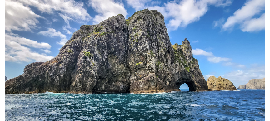
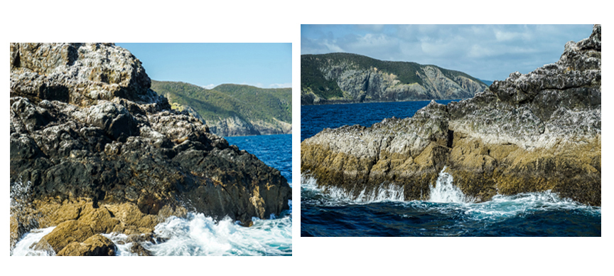
Hole in the Rock
Don’t miss opportunity to visit Hole in the Rock on Motukokako Island off Bay of Islands – it is well worthwhile trip. Boat excursions from Paihia, Russell takes you across ocean through stunning scenery … islands, coves dotted everywhere in view … with local seals sunning themselves … check out birdlife above … or dolphins out for a visit – if you are lucky.
Rising 148 metres (458 feet) above sea-level in Pacific Ocean; sheer cliffs around; with 16-metre high (over 52 feet) hole carved out by wind and ocean at south-western end – large enough for boat to pass through.
Māori folklore has it that local warriors paddled canoes through Hole in Rock prior to war … water drops from cave roof were sign of good fortune …
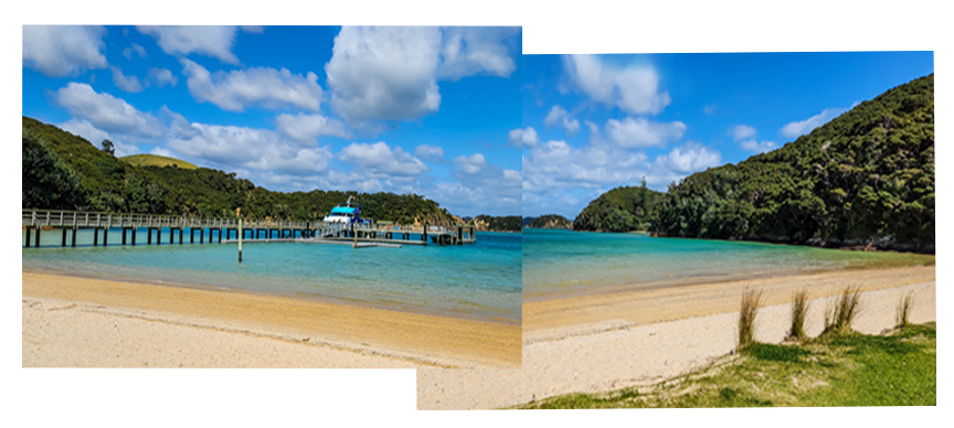
Stop at Otehei Bay, Urupukapuka Island for lunch; walk up vantage points overlooking multiple islands around; or take relaxing walk along beach …
Conclusion
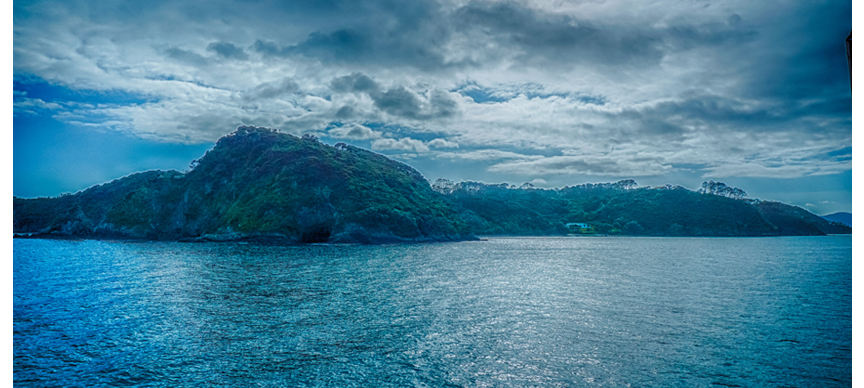
North Island New Zealand is amazing – from tip of island right down to furthest point south … beautiful sceneries along coastline … stunning natural wonders inland and off-shore … thanks to its volcanic origins. Pristine oceans … filled with marine life – dolphins, whales, seals … birds soaring above under clear blue skies … amazing rock formations …
Natural beauty all around … definite must-visit location !
